 |
| Sign just before crossing under I-80. |
June 21, Day 28 of my record attempt
adventure. I made it to mile 1206.75 for a total of 47.25 miles. I
made it to...i made the climb up the Buttes, the Sierra Buttes,
passed the little trail head on top where it meets the road, just
before you come up the hill on the paved road. I camped at point
0700220 E 4387867 N. Ohh yesterday. Lets see. Yesterday I got a very
late start, 8:30 roughly. Uhh, I don't know what happened, but I woke
up roughly around normal time and I just didn't feel good and so I
just turned over and kinda went back to sleep, even though the
traffic was getting louder and louder with more hours of the day. I
just tuned it out. Maybe I had one too many beers, but I only had 2,
so I don't think that's it. Maybe it was just the extra food or
something that I wasn't used to. But regardless I got up and got
moving. It was actually a fairly easy day. I made the climb up to the
Peter Grub Hut, nobody there. And then from there on, for the next
10-15 miles I hit more snow patches and creek, or trail that was
flowing with water, than I have had the whole entire trip so far. I
must have walked across 50 snow patches and I want to say that those
15 miles had more snow
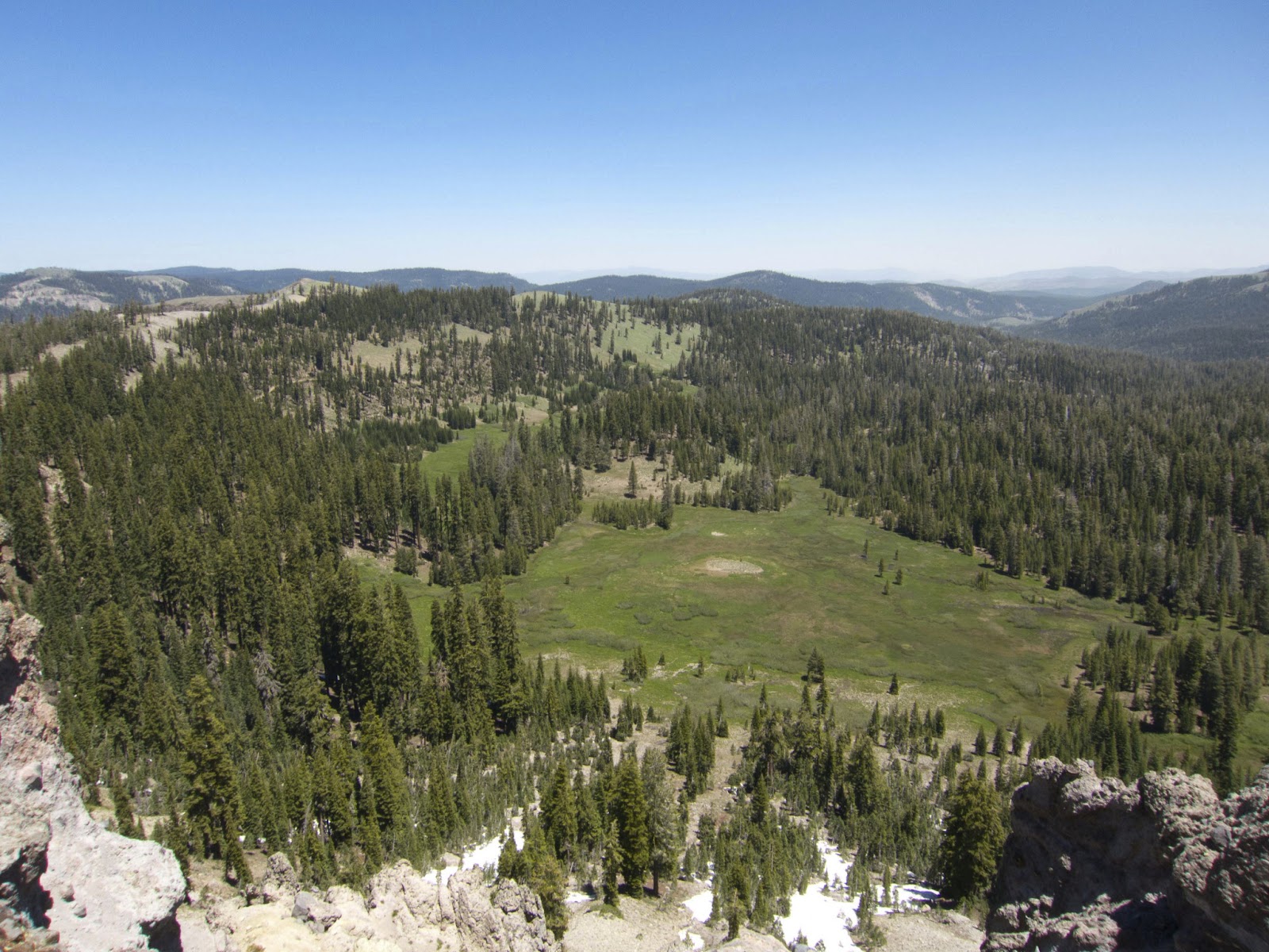 |
| 10 Miles north of Donner Pass, looking NE. |
crossing than the Sierras and Sonora Pass
combined, which normally would say a lot. But this year it doesn't
say a whole bunch except for there was a bunch of snow and my feet
got wet because I had to keep dodging the trail that was a river and
the mud puddles and such things. But um yeah, it was actually fairly
nice. A few mosquitoes here and there. A nice sunny day, breezy. You
would drop down on the north side, hit a bunch of snow, then climb up
the south facing adjacent ridge amongst the thousands and thousands
of Mule Ears and volcanic terrain or soils and stuff and crest out,
walk aways and drop back down the other side. Eventually I was
descending from the Castle Crags to the Yuba at Sierra City, so it
was a day of a lot of downhill, until the end actually. But I was
making good time. I knew that Highway 49 was about 37-38 miles away
and that there was a climb up the Buttes right after that. And since
I wasn't resupplying at Sierra City, I thought, why not make it up as
much of the Buttes as possible, so that in the morning I won't have
to do it. Plus, it puts me up, in better position for the next
following days. I figured out that if I make it up the Buttes then do
a 45 I'm at the bottom of the Middle Feather River, I'm at the creek
itself, so I can start doing that climb at the end of tomorrow night.
And then, if I manage to do that, it gives me a 40 into Belden, which
then means I can leave in the evening versus having to wait until the
morning. Which means I can probably get in and get out and get
 |
| The Sierra Buttes, be there tonight! |
a
couple miles up the Belden climb at night *laughs* rather than early
in the morning. So, by doing big miles, I actually have set myself
up, if I can continue them, to basically do a lot of these climbs at
night. So back to where I was, um...Yeah lots of downhill. You
finally get to one ridge and you just start trucking down and down
and down and you see Jackson Meadows Reservoir. You pass by that. You
go up a little bit and then you just keep hauling down. You finally
hit, ohh I forget which creek it is, its a really pretty little creek
probably about 6 miles from the highway, Highway 49, and you
parallel, cross it twice, but you kind of parallel it for a while.
It's such a steep creek that they bring you way up high so you can't
see a lot of it, and then you zig-zag and then all of a sudden you're
at the Yuba at the bridge. You cross the bridge and you go for about
another mile and you're at Highway 49, which Scott had told me that
he and my dad had put up a sign at the crossing. And when I crossed
Highway 49, right above the PCT symbol, there was a little chunk of
wood with "Hannah Montana Rocks!" scrawled on it, which, is
funny because Scott has always thought my trail name should be Hannah
Montana, and it was kind of my runner-up idea, just because it's
ridiculous
 |
| The Sierra Buttes, be there tonight! |
and would be really funny to introduce yourself to people,
because you would pretty much always get a laugh, I think. I wrote on
the piece of wood 'hey thanks guys, I really wish you guys were
here.' I actually screwed up, I put my current time on there as 28
days and 14 hours, which it should have been 27 days 14 hours since I
was counting up the hours to day 28. But whatever. I also realized
yesterday that I'm going to hit the midpoint in 3 days. I'll hit the
midpoint somewhere around the well, I think the evening, I'm not
sure, yet. I haven't completely figured out the exact miles and
whatnot, but I should hit it on the 24th, which is three days from
today. And that being said, I will be at I think like 30 days and X
amount of hours into my trek. Anyway, by the time I made it to
Highway 49, it was ohh, 8:30pm and I was at 37 miles for the day, so
I had to at least make 1200 which was going to be my 40 miles (for
the day). So I blasted up the switchback, switchback, switchback,
switchback, switchback and finally getting to 1200 around 9:30 or so,
and then kept going. I mean there was no in stopping. A, there is no
camping and B. In the morning I am going to be very happy that I
don't have to do this climb. Which the climb itself after the
switchbacks and the few rocky places isn't
 |
| Yuba River crossing by Sierra City. |
really bad. You kind of go
really gently yup for the last three miles or so. But I did it, it
was great. I could see the lights of Sierra City, looking at the
horizon, I could see the glow of Reno, Sacramento. I could actually
make out a few clusters of town lights out in the central valley. So
it was not a bad night. A little rough on the feet - there were some
rocky patches that sucked and whatever, but I made it to the top and
finally made it to the trail head around 11:55pm and kept going
trying to find a good camp site because it was windy up on the ridge.
Trying to find a cozy little nook and it took me until about 12:08am
to finally find a place that I wanted to camp. Settled in, made
dinner, got a whole bunch of stuff ready for the morning. Ate a whole
bunch, and finally went to bed, I think at like 1:05am. So it was a
high mile day, but I had to go late because I got up late. But you
know, it's OK I got a little extra sleep and then I went a little
extra further. So we'll see if I can get back onto a normal schedule
tomorrow.
 |
| North of Donner Pass about 15 miles. |